Showing posts with label maps. Show all posts

Wednesday, 16 June 2010

Primary History & Geography National Conference in Manchester - 15th June 2010


The GA (Geographical Association) and HA (Historical Association) ran a very successful primary conference in Manchester yesterday.  Photographs from two of the geography sessions (which was held at The Hive in Lever Street) can be accessed by clicking on the photograph.  You are welcome to download photographs from my Picasa page (I know some people in the afternoon event were interested in obtaining photographs of the mapping activity to use with their students).  I will be updating my PowerPoint presentation and making this available shortly.

Friday, 2 April 2010

Open Data: new map site from the Ordnance Survey


The Ordnance Survey has now made some of their map data freely available for viewing, download and embedding into other web projects.

You can read more about this project on the Guardian website >>>>

I've had a very quick look this afternoon and I'm not totally sure how useful I'll find it - though it may be too early days yet.  I started with Street View,  a very attractive street map, which I've used very successfully with children during the OS/BECTA  map pilot for schools. The map displays very quickly but in a long narrow band which restricts visibility.


I tried downloading the SE grid square (100k square) and as this turned out to be 800+mb in size I quickly stopped downloading on my very slow broadband connection.

I'm sure that I need to give this website a little more time yet but as I can access OS 1:25000 and 1:50000 maps via BING maps (and these display at full screen size) I'm not entirely sure what use I'll make of the OS map data yet.

For secondary schools however, OS has made available different data sets which will work with GIS software which should make obtaining this data much easier than at present. 

Saturday, 6 March 2010

Young Geographers Go Local

A new set of resources to help you teach about your `Local Area' is now available from the Geographical Association website.


There are lots of ideas here to help you get started with using ICT and digital mapping in the context of your school grounds and local area.  I chose to focus on how children `felt' about their local area in order to engage them directly with their `everyday geographical experience'.  Please don't be put off by the `online cpd' label on the GA website - these are all practical ideas that have been shared elsewhere on this blog.

Access this resource at: Young geographers Go Local

Thursday, 7 January 2010

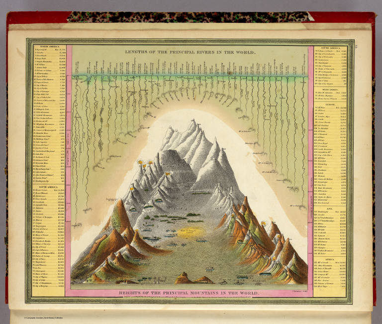
Heights of Mountains, Lengths of Rivers


If you are studying Mountain Environments or need maps of the US or historical maps of the UK and Europe it would be worth checking out David Rumseys Map Collection.  It's a fantastic website and there is lots here that will interest primary and secondary teachers.

Wednesday, 3 December 2008

Tom Barrett's Blog - Using Google Earth to plot the journey of James and the Giant Peach


Thankyou to Alan (my colleague at the GA) for sharing information about this blog at our meeting yesterday.

Tom has been doing some amazing work with his class on using Google Earth to plot the story of James and the Giant Peach. Start with his final page of the story and then choose the links to work back.

He has also been using Vocaro to record children's voices - which were then embedded into Google. Please read his blog to find out more.